Testing announcement


About
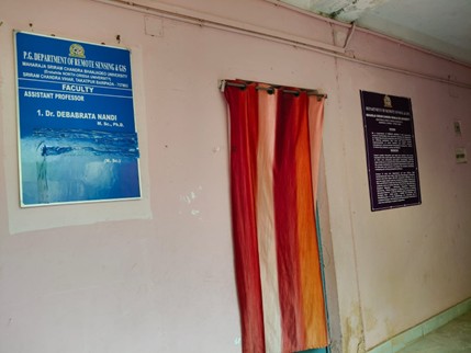
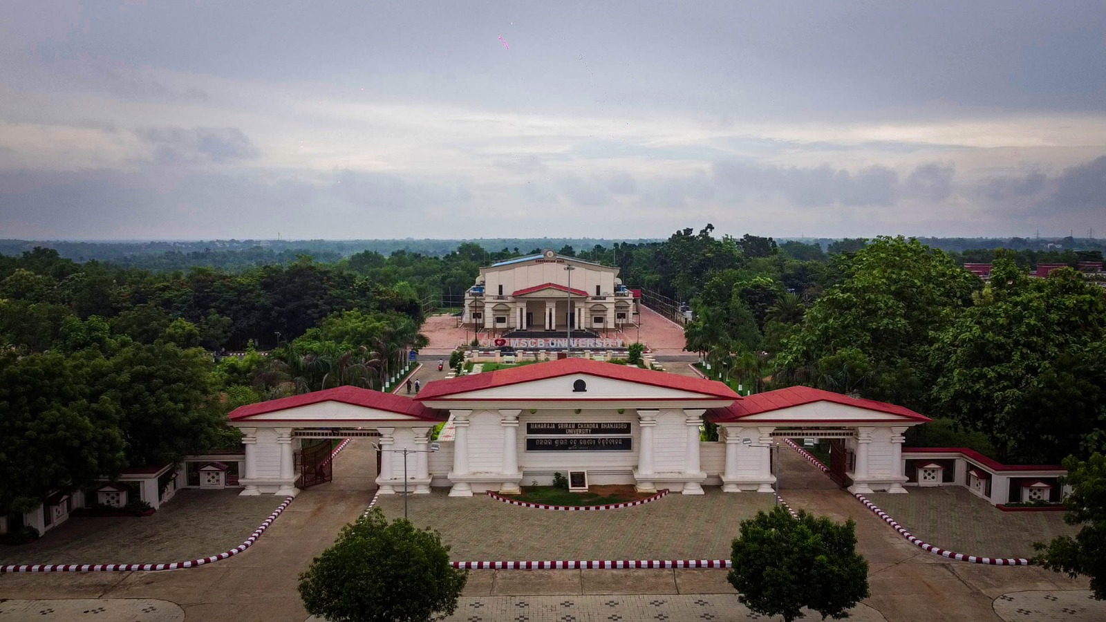
The Department of Remote Sensing & GIS at Maharaja Sriram Chandra Bhanja Deo University (MSCB University), Takatpur, Baripada, Mayurbhanj, Odisha, is a specialized academic and research unit dedicated to geospatial science and technology. The department focuses on integrating Remote Sensing, Geographic Information Systems (GIS), and geo-computational techniques for understanding earth system processes, environmental monitoring, and sustainable resource management. It provides advanced training in spatial data analysis, geospatial modeling, and decision-support systems. With a strong emphasis on interdisciplinary applications, the department contributes to addressing real-world challenges related to natural resources, urban planning, climate change, and socio-economic development.
35+
Total Students
2
Faculty Members
6+
Research Projects
- To impart high-quality education in Remote Sensing and GIS by building a strong theoretical and practical foundation in geospatial technologies. The department is committed to developing skilled professionals capable of addressing complex spatial problems through advanced analytical and technical approaches. It aims to maintain state-of-the-art research and outreach facilities aligned with premier institutions to enhance academic excellence. The mission includes fostering critical thinking, innovation, and interdisciplinary research while equipping students to analyze, interpret, and solve real-world geospatial challenges, thereby contributing effectively to sustainable development and societal well-being.
- To emerge as a center of excellence in Remote Sensing and GIS education, research, and innovation by integrating advanced geospatial technologies with interdisciplinary applications. The department envisions fostering a dynamic academic environment that promotes geo-computing, spatial data infrastructure, and cutting-edge visualization techniques. It aims to support sustainable development by applying geospatial tools in earth system science, natural resource management, socio-economic planning, and political ecology. Through continuous innovation, collaboration, and knowledge dissemination, the department strives to meet the evolving needs of students, society, and the nation while contributing to global geospatial advancements.

Prof. Lingaraj Behera
RS And GIS
HOD's Message
Lorem Ipsum is simply dummy text of the printing and typesetting industry.
ProfileProgramme

Strengthening Ecological Resilience of Bio-resources in Forest Ecosystems of Mayurbhanj, Odisha Using Geospatial Technology
CompletedShort Term Research/Survey on forest fire related issues in Baripada Forest Division,
CompletedShort Term Research/Survey on forest fire related issues in Jharasuguda Forest Division
CompletedPreparation of Land use land cover mapping of Balda Block Iron Ore Mines for Preparation of Environmental Impact Assessment report in the District of
Completedintegrated micro watershed management plan in Similipal tiger reserve using Remote Sensing & GIS
CompletedMonitoring of River system Meadows and salt licks in Similipal Tiger Reserve: A Remote sensing & GIS approach
CompletedNo seminars found.